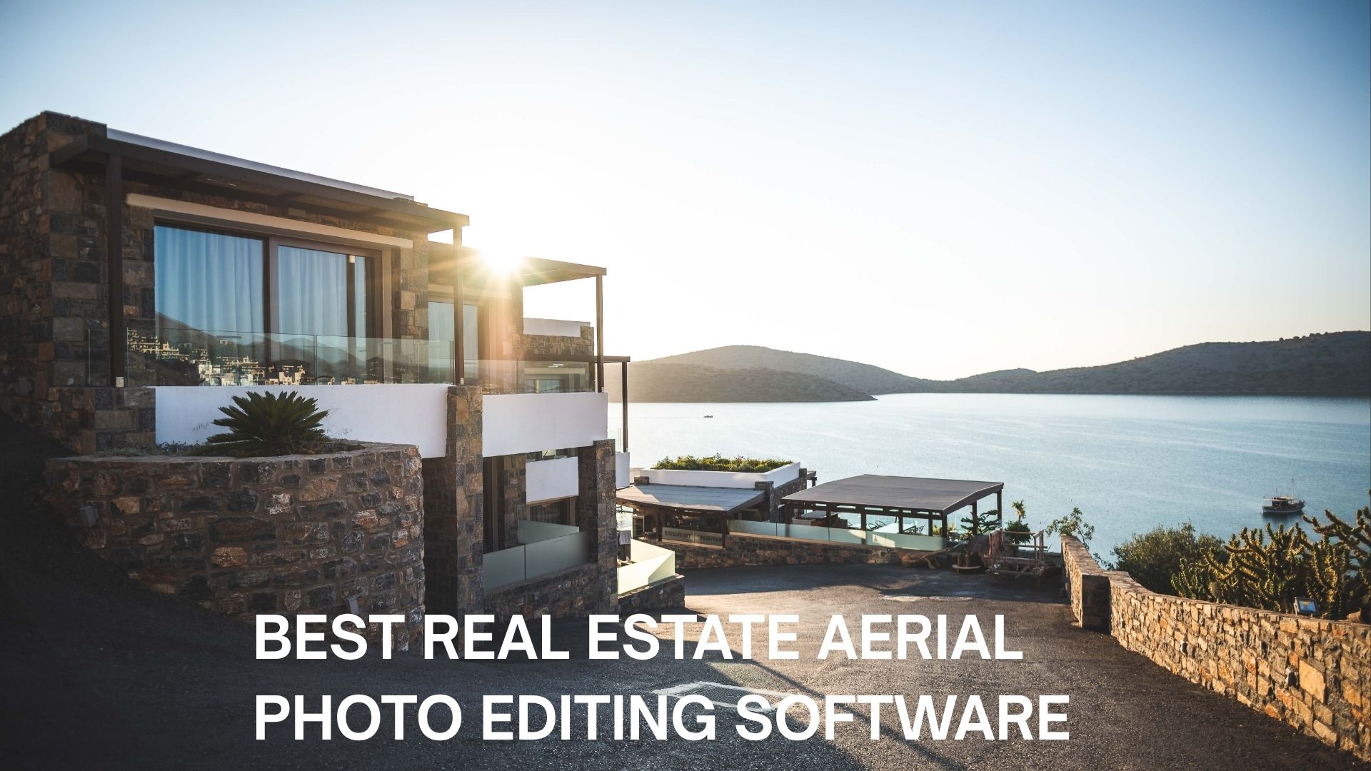
Drone shots have quietly become the deciding factor in whether a listing gets a click or gets scrolled past. But a raw aerial file straight off the drone rarely tells the full story of a property – skies look washed out, roofs look dull, and boundary lines get lost in the noise. That’s where the best Real Estate aerial photo editing software comes in, turning flat, technical drone footage into polished visuals that actually sell the lifestyle around a home, not just the house itself. Whether you’re an independent agent or running a full brokerage, the right aerial photo editing stack can be the difference between a listing that sits and one that closes fast.
Why Aerial Photo Editing Deserves Its Own Toolkit
Ground-level real estate photography and aerial photography aren’t the same beast. Drone images deal with harsher lighting extremes, wider dynamic range, and perspective distortion that ground shots simply don’t face. Generic photo editors often fall short here, which is why so many professionals now lean on tools purpose-built for altitude.
- Correcting lens distortion and barrel warping common in wide-angle drone cameras
- Balancing overexposed skies against underexposed rooftops and lawns
- Sharpening property boundaries, driveways, and landscaping details
- Replacing dull or overcast skies with vibrant, realistic alternatives
- Enhancing color accuracy so land, water, and greenery look natural, not artificial
Top Contenders for Best Real Estate Aerial Photo Editing Software
There isn’t a single “one size fits all” answer, since agents, developers, and colonizers all have different volume needs and budgets. Below is a breakdown of the tools currently leading the pack.
1. Adobe Lightroom Classic
Still the industry workhorse. Lightroom Classic handles batch editing beautifully, which matters enormously when you’re processing dozens of aerial frames from a single flyover. Its non-destructive editing, preset system, and HDR merging make it a dependable base layer for any workflow, even if it isn’t purpose-built for drones specifically.
2. Adobe Photoshop
When precision matters – say, cleaning up a stray power line cutting across a plotted land parcel — Photoshop’s neural filters and layer-based masking give unmatched control. It’s slower to learn, but for developers showcasing large land parcels or gated communities, that control is often worth the learning curve.
3. Skylum Luminar Neo
Luminar Neo has carved out a strong reputation among agents who want AI-assisted speed without sacrificing quality. Its sky replacement and structure enhancement tools are particularly well suited to aerial shots, letting you swap a flat, grey sky for a warm golden-hour backdrop in a couple of clicks.
4. Topaz Photo AI
Drone photos taken at higher altitudes can come out slightly soft or noisy, especially in lower light. Topaz Photo AI specializes in upscaling, sharpening, and denoising, which makes it a smart companion tool rather than a full standalone editor.
5. Phixer and Similar AI-Automation Platforms
For agents managing high listing volumes, automated platforms that handle decluttering, lighting correction, and sky enhancement in bulk have become genuinely useful. These platforms trade some manual control for dramatic time savings, which suits fast-moving brokerages well.
Read Also– Why Every Realtor Needs Professional Aerial Photo Editing in 2026
Software vs. Outsourcing: What Actually Fits Your Workflow
Not everyone wants to sit behind a screen adjusting sliders after a long day of showings. This is where many agents and developers start weighing software ownership against outsourcing to a dedicated Real Estate Aerial Photo Editing Company. Both paths are valid, and the right call usually comes down to volume, budget, and how much creative control you personally want.
If you shoot dozens of properties a month, learning even the Best Real Estate Aerial Photo Editing Software on the market can eat into hours you’d rather spend closing deals. In that case, professional Real Estate Aerial Photo Editing Services offer a practical middle ground – you send raw files, and a trained editing team returns polished, listing-ready visuals within a day or two.
On the other hand, if you’re a solo agent or a small brokerage with a manageable shoot schedule, owning your own editing software gives you full creative control and no recurring per-image cost. It’s worth testing both approaches on a few listings before committing long-term.
What to Look for Before You Commit
With so many options claiming to be the Best Real Estate Aerial Photo Editing Software, it helps to filter choices against a few practical criteria rather than chasing every new AI feature that gets marketed to you.
- Batch processing: Can it handle dozens of drone images at once without manual repetition?
- Sky replacement quality: Does it look natural, or does it create that telltale “pasted-on” effect?
- Learning curve: Will your team realistically use it, or will it sit unopened after week one?
- Export flexibility: Does it support formats suited for MLS listings, brochures, and social media simultaneously?
- Pricing model: One-time license, subscription, or pay-per-image – which fits your monthly shoot volume?
Read Also- Real Estate Aerial Photo Editing Tutorial
Developers and Colonizers Have Different Needs Entirely
Land developers and colonizers marketing large plotted layouts need something a little different from what an agent selling a single home needs. Aerial visuals here often have to show entire sectors, road networks, and green belts clearly, which means resolution and stitching accuracy matter more than dramatic sky replacements.
For this segment, working with a provider offering dedicated Real Estate Aerial Image Editing Services can be far more efficient than software alone, since these providers often understand how to enhance large-scale layout maps, boundary markings, and plot demarcations without distorting scale or proportion.
Building a Simple, Repeatable Workflow
Regardless of which tool you pick, a consistent process saves time and keeps your listings looking cohesive across your entire portfolio.
- Cull raw drone footage first – discard blurry or duplicate frames before editing begins
- Correct exposure and white balance as your first editing pass
- Apply sky replacement or enhancement only after exposure is balanced
- Sharpen and denoise as a final step, not an early one
- Export in multiple sizes for MLS, social media, and print brochures
Conclusion
Choosing the Best Real Estate Aerial Photo Editing Software really comes down to matching the tool to your actual workflow rather than picking whatever ranks highest on a listicle. Solo agents might do perfectly well with Luminar Neo or Lightroom, while high-volume developers might find more value partnering with a professional editing service that understands large-scale layouts. Either way, sharp, well-balanced aerial visuals aren’t a luxury anymore- they’re simply what buyers expect before they’ll even consider booking a site visit.
Frequently Asked Questions
1. Is aerial photo editing different from regular real estate photo editing?
Yes. Aerial shots deal with wider dynamic range, harsher sky exposure, and lens distortion that ground-level photography rarely encounters, so the editing approach and tools often differ.
2. Do I need expensive software, or can free tools work for aerial editing?
Free tools can handle basic corrections, but for consistent, professional results across bulk drone shoots, dedicated software or a professional editing service tends to save more time and deliver better quality overall.
3. How long does professional aerial photo editing usually take?
Most established editing services return finished files within 24 to 48 hours, though turnaround can vary depending on batch size and the complexity of the edits requested.
4. Can editing software fix poorly shot drone footage?
To an extent, yes – exposure, color, and sharpness can often be corrected. However, severe issues like extreme blur or incorrect framing are harder to fix and are better prevented during the actual flight.
5. Should developers use the same software as individual real estate agents?
Not necessarily. Developers marketing large plotted layouts often benefit more from services specializing in large-scale image stitching and boundary clarity, rather than agent-focused tools built around single-property listings.