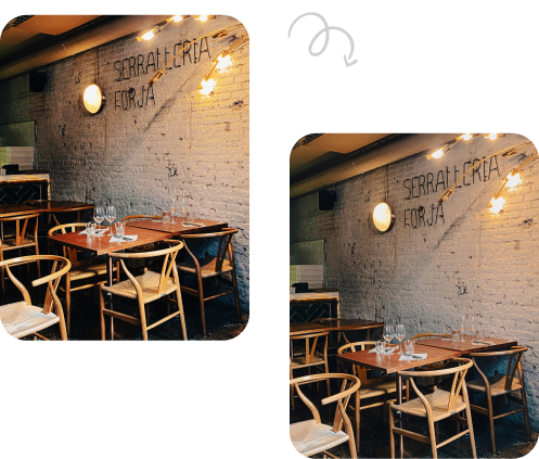
If you’ve scrolled through property listings lately, you’ve probably noticed something different. Homes don’t just look photographed anymore- they look magazine-ready, with crisp skies, vibrant lawns, and perfectly balanced lighting. That transformation doesn’t happen by accident. It’s the result of a process called aerial photo editing, and if you’re in real estate, understanding it could change how you market every listing you have.
What is Aerial Photo Editing?
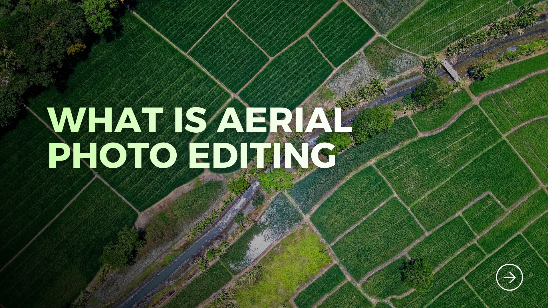
So, what is aerial photo editing exactly? In simple terms, it’s the process of enhancing, correcting, and refining drone or aerial-captured images to make them visually compelling and market-ready. Raw drone footage, no matter how skillfully shot, often comes with issues- overexposed skies, uneven lighting, distracting objects, or dull colors. Editing fixes all of that.
Think of it this way: a drone captures the raw material, but editing shapes it into a finished product. It’s the difference between a photograph and a photograph that actually sells a property. For real estate professionals, this distinction matters more than most people realize.
Why Aerial Photography Alone Isn’t Enough
Drones have completely changed how properties are marketed. They let you show off sprawling estates, waterfront lots, or entire neighborhoods in a single frame- something ground-level photography simply cannot replicate. But here’s the catch: unedited aerial shots rarely look their best straight out of the camera.
Weather conditions, sun angles, and even the drone’s sensor limitations can leave images looking flat or inconsistent. This is exactly where the value of editing comes in, turning a technically good photo into one that actually stops a potential buyer mid-scroll.
Common Problems Raw Aerial Photos Have
- Blown-out skies: Bright sunlight often washes out the sky, leaving it white and lifeless instead of a rich blue.
- Uneven exposure: Parts of the property may appear too dark or too bright compared to the rest of the frame.
- Distracting elements: Trash bins, parked cars, or neighboring clutter can pull attention away from the property itself.
- Color inconsistency: Grass, rooftops, and landscaping may look duller or oddly tinted without correction.
- Perspective distortion: Wide-angle drone lenses can slightly warp property lines and structures.
Read Also– Real Estate Aerial Photo Editing Tutorial
What is Aerial Photo Editing? A Closer Look at the Process
Now that we’ve covered the “why,” let’s dig into the “how.” Aerial photo editing typically involves several layered steps, each one building on the last to produce a polished final image.
1. Sky Replacement
One of the most common edits is swapping out a dull or overcast sky for a clear, vibrant blue one. This single change can dramatically shift how inviting a property feels, even if the actual weather that day wasn’t cooperative.
2. Color Correction and Grading
Editors adjust saturation, contrast, and white balance so that grass looks greener, rooftops appear crisper, and the overall palette feels natural rather than artificial or oversaturated.
3. HDR Blending
High Dynamic Range blending merges multiple exposures of the same shot to balance shadows and highlights, ensuring both the sky and the ground details are clearly visible.
4. Object Removal
Editors digitally remove distracting elements – stray vehicles, garbage cans, construction debris – so the property itself remains the sole focus of the image.
5. Lens and Perspective Correction
Wide-angle drone lenses sometimes distort straight lines. Editing straightens boundaries and structures so the property’s proportions look accurate and true to life.
6. Property Boundary Highlighting
For land sales especially, editors often add subtle boundary lines or overlays to help buyers visually understand exactly what they’re purchasing.
Read Also- Real Estate Aerial Photo Editing Trends Every Photographer Should Know
Why This Matters for Real Estate Professionals
You already know that first impressions sell homes. Buyers today browse listings on their phones in seconds, and a lackluster photo can mean an instant swipe-past. Well-edited aerial imagery gives your listings a competitive edge that raw photography simply can’t match.
Agents, developers, and colonizers working on large land parcels benefit especially. Aerial views communicate scale, layout, and surroundings in ways that individual room photos never could. When those views are also polished and professional, credibility follows naturally.
Benefits Worth Noting
- Higher engagement: Listings with striking visuals tend to attract more clicks, inquiries, and shares across platforms.
- Faster sales cycles: Properties that look move-in ready visually often generate quicker buyer decisions.
- Stronger brand image: Consistently polished marketing materials build trust with clients and set you apart from competitors.
- Better ROI on marketing spend: Investing in quality visuals often pays for itself through faster, higher-value sales.
Should You Edit In-House or Outsource?
This is where many real estate professionals hit a fork in the road. Editing aerial images well requires specialized software skills, an eye for detail, and time- resources that busy agents and developers rarely have to spare.
That’s why many turn to a dedicated Real Estate Aerial Photo Editing Company rather than handling edits themselves. Professional editors understand exactly what buyers respond to and can process large volumes of images quickly without sacrificing quality.
If you’re managing multiple listings or large developments, working with Real Estate Aerial Photo Editing Services can save considerable time while ensuring every image meets a consistent, professional standard across your entire portfolio.
Similarly, developers handling expansive plots or gated communities often rely on Real Estate Aerial Image Editing Services to accurately showcase layout, infrastructure, and surrounding amenities in a way that feels both aspirational and trustworthy.
Read Also- 10 Benefits of Professional Real Estate Aerial Photo Editing
What Makes a Good Aerial Editing Partner?
Not all editing services are created equal. When evaluating a potential partner, keep an eye out for a few key qualities that separate solid work from mediocre results.
- Turnaround time: Real estate moves fast, so quick delivery without cutting corners matters.
- Natural-looking edits: Overprocessed images can look fake and actually hurt buyer trust.
- Portfolio consistency: Look at past work to see if their style matches your brand’s tone.
- Scalability: Can they handle bulk orders during peak listing seasons without quality dropping?
Conclusion
So, what is aerial photo editing at its core? It’s the bridge between raw drone footage and marketing material that actually converts browsers into buyers. For real estate agents, developers, and colonizers, it’s no longer optional- it’s a competitive necessity in a visually driven market.
Whether you choose to learn basic editing yourself or partner with professionals who specialize in this niche, investing in polished aerial imagery is one of the smartest moves you can make for your listings. The property sells itself when it’s presented at its absolute best.
Frequently Asked Questions
1. What is aerial photo editing used for in real estate?
It’s used to enhance drone-captured property images by correcting lighting, removing distractions, and improving overall visual appeal to attract more buyers.
2. How long does aerial photo editing typically take?
Turnaround varies by provider and volume, but professional services often deliver edited images within 24 to 48 hours for standard orders.
3. Is aerial photo editing expensive?
Costs vary depending on complexity and volume, but most agents find the investment worthwhile given the boost in listing engagement and faster sales.
4. Can aerial photo editing fix poor-quality drone shots?
To an extent, yes. Editing can correct exposure, color, and minor distortions, though extremely blurry or poorly composed shots have limitations.
5. Do I need special software to edit aerial photos myself?
Yes, tools like Adobe Photoshop or Lightroom are commonly used, though mastering professional-level results typically requires training and experience.